|
Getting to know ArcObjects
|
Robert Burke,Andrew Arana,Robert Burke |
xii, 422 p. : 23 cm. + |
OL12054193W |

|
Designing geodatabases for transportation
|
J. Allison Butler |
xv, 461 pages : 23 cm |
OL15105000W |

|
Il disegno del territorio. Storia della cartografia delle Marche
|
Fabio Mariano,Giorgio Mangani |
Index: Storia della cartografia dalle origini al mondo classico; Le carte nautiche; La rinascenza cartografica fra XVI e XVII secolo; Il mondo in parete e la Galleria delle Carte geografiche in Vati… |
OL15165813W |
|
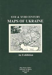
XVII and XVIII Century Maps of Ukraine
|
Bohdan Kordan |
An exhibition catalogue containing descriptions of antiquarian maps relating to Ukraine from the holdings of the University of Alberta Map Library and private collections. |
OL15371325W |

|
Alexander Nimmo's Inverness survey & journal, 1806
|
Alexander Nimmo |
Alexander Nimmo was Rector of Inverness Academy in 1806 when the Commission for Highland Roads and Bridges employed him to survey the boundary of Inverness-shire with the adjacent counties. During hi… |
OL15990921W |
|
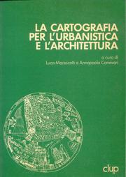
La cartografia per l'urbanistica e l'architettura
|
Luca Marescotti |
Atti del “1 Seminario di Cartografia”, organizzato al Politecnico di Milano nei giorni 29, 30, 31 marzo 1982 da Luca Marescotti, professore e responsabile della sezione Cartografia del Centro di Docu… |
OL16272080W |
|
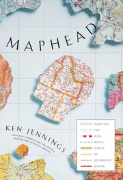
Maphead
|
Ken Jennings |
This book traces the history of mapmaking while offering insight into the role of cartography in human civilization and sharing anecdotes about the cultural arenas frequented by map enthusiasts. It c… |
OL16441491W |
|
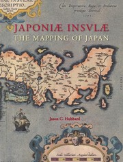
Japoniæ insulæ. The mapping of Japan. A historical introduction and cartobibliography of European P…
|
Jason C. Hubbard |
The Mapping of Japan systematically categorizes and provides an overview of all the European printed maps of Japan published to 1800. The author has undertaken a review of the literature, conducted a… |
OL16798875W |

|
The Phantom Atlas
|
Edward Brooke-Hitching |
The Phantom Atlas is an atlas of the world not as it ever existed, but as it was thought to be. These marvellous and mysterious phantoms -- non-existent islands, invented mountain ranges, mythical ci… |
OL17761052W |

|
Map scales
|
Jennifer M. Besel |
"Simple text with full-color photos and illustrations provide basic information about map scales"--Provided by publisher. |
OL17872653W |

|
Global positioning systems
|
Laurie Collier Hillstrom |
Explores global positioning systems, tracing the history and scientific breakthroughs leading to their creation. |
OL17893210W |
|
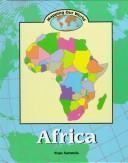
Africa
|
Fran Sammis |
Text and maps introduce information about the climate, regions, people, cultures, animals, plants, resources, politics, and religions of Africa. |
OL1844821W |
|
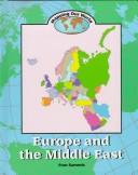
Europe and the Middle East
|
Fran Sammis |
Presents information about the physical features, climate, land use, political divisions, religions, languages, population, transportation, plants, animals, and other aspects of Europe and the Middle… |
OL1844829W |

|
Standardizing land cover mapping for tsetse and trypanosomiasis decision making
|
Food and Agriculture Organization of the United Nations |
The habitat of tsetse fly depends upon climatic conditions, host availability and land cover characteristics. In this paper, the Land Cover Classification System, developed by FAO and UNEP, is propos… |
OL18662972W |

|
Mulitmedia cartography
|
Michael P. Peterson,William Cartwright |
xxv, 546 pages : 24 cm |
OL18715121W |
|
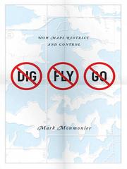
No dig, no fly, no go
|
Mark S. Monmonier |
Some maps help us find our way; others restrict where we go and what we do. These maps control behavior, regulating activities from flying to fishing, prohibiting students from one part of town from … |
OL1909711W |

|
The red atlas
|
John Davies,Alexander James Kent |
xiii, 234 pages : 24 cm |
OL19722717W |

|
Transportation Systems Engineering: Theory and Methods
|
Ennio Cascetta |
This book provides a systematic and rigorous presentation of the theory of transportation systems and of the main methodologies for its application to transportation system engineering. Topics are pr… |
OL19907801W |
|
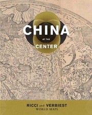
China at the center
|
Natasha Reichle,Theodore N. Foss,Mark Stephen Mir |
"Global exploration in the sixteenth and seventeenth centuries led to new interactions between Europe and Asia. Jesuit priests were instrumental in spreading knowledge of the world to China and infor… |
OL20022261W |
|
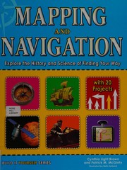
Mapping and navigation
|
Cynthia L. Brown |
Whether mapping the solar system or mapping their own backyard, young readers will be able to understand mapping technologies and see the world in new and exciting ways with this interactive, educati… |
OL21412509W |